Somaliland has a long history that goes back centuries.
If South Zoomaali politicians think they can subjugate the Somaliland people
They can thinka again
I believe Somaliland can trace its history back to
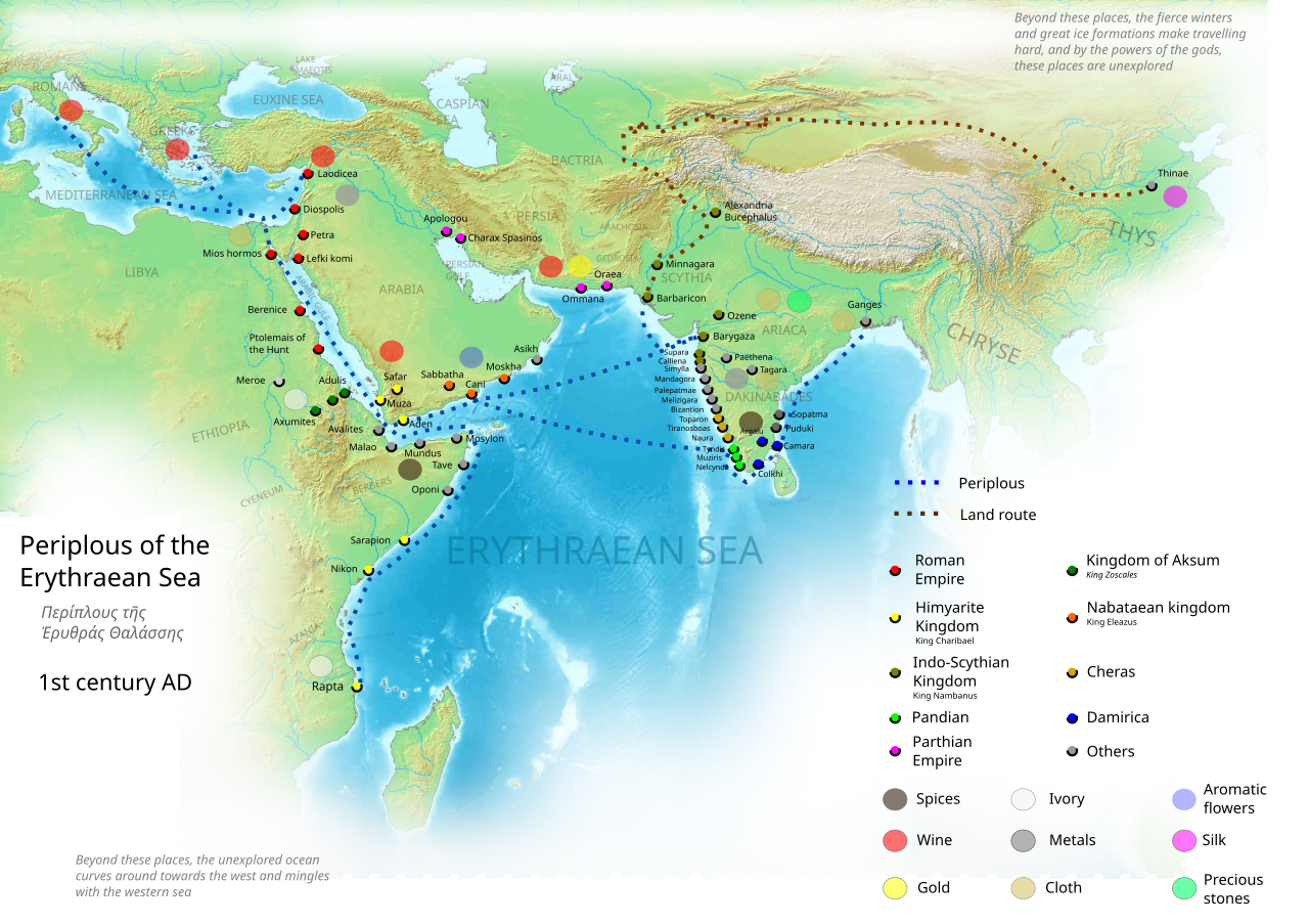
Barbara State 1st century AD
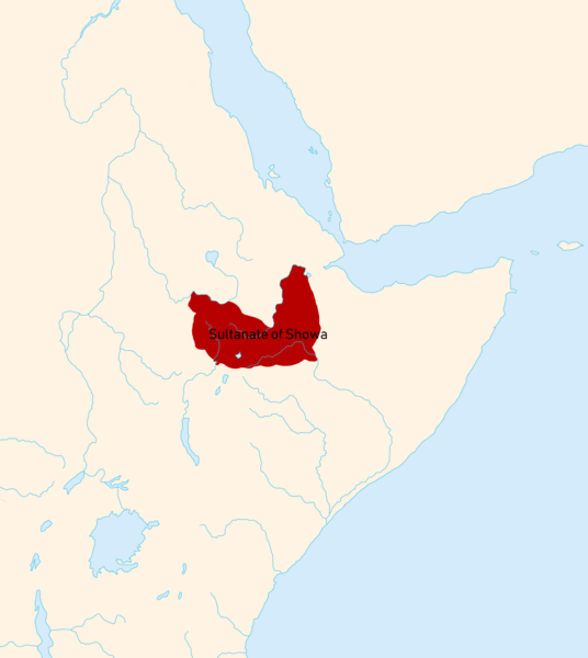
Centuries later Sultanate of Showa (nicknamed "The Land of Zeila")
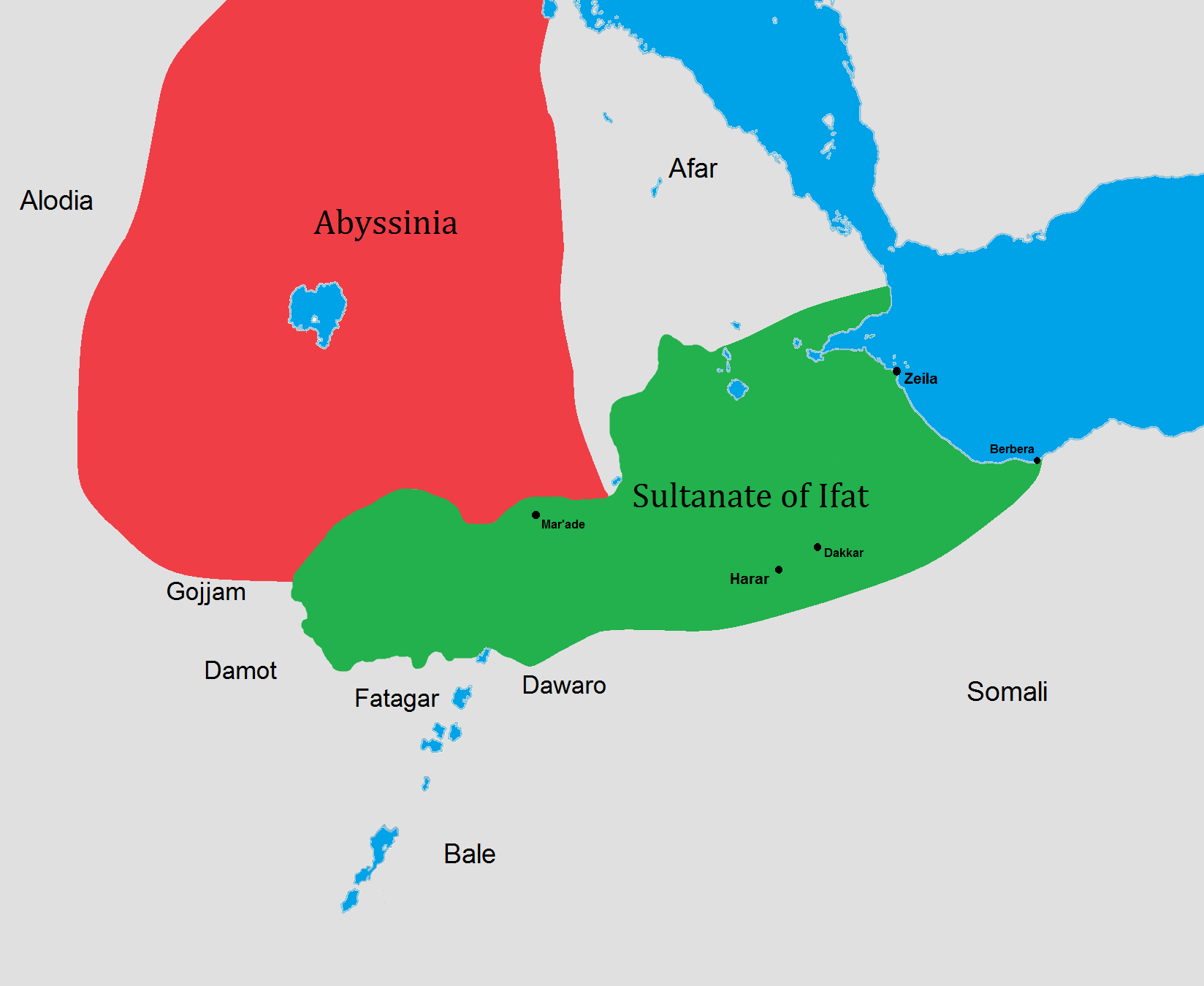
Walashma dynasty & Ifat Sultanate
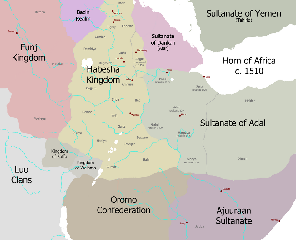
Adal empire

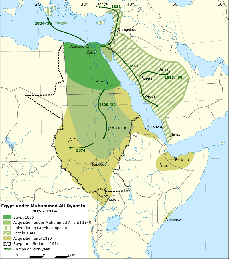
Somali Eyalet State
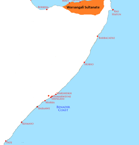
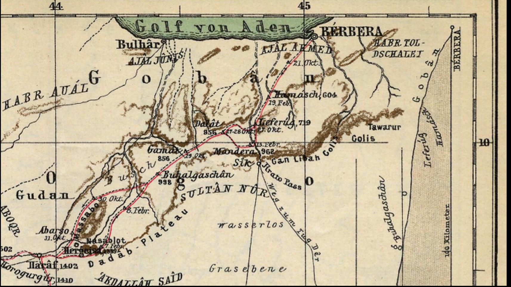
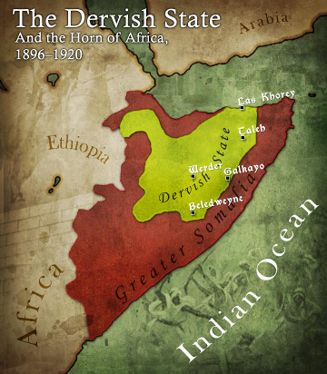
Somali Dervish State
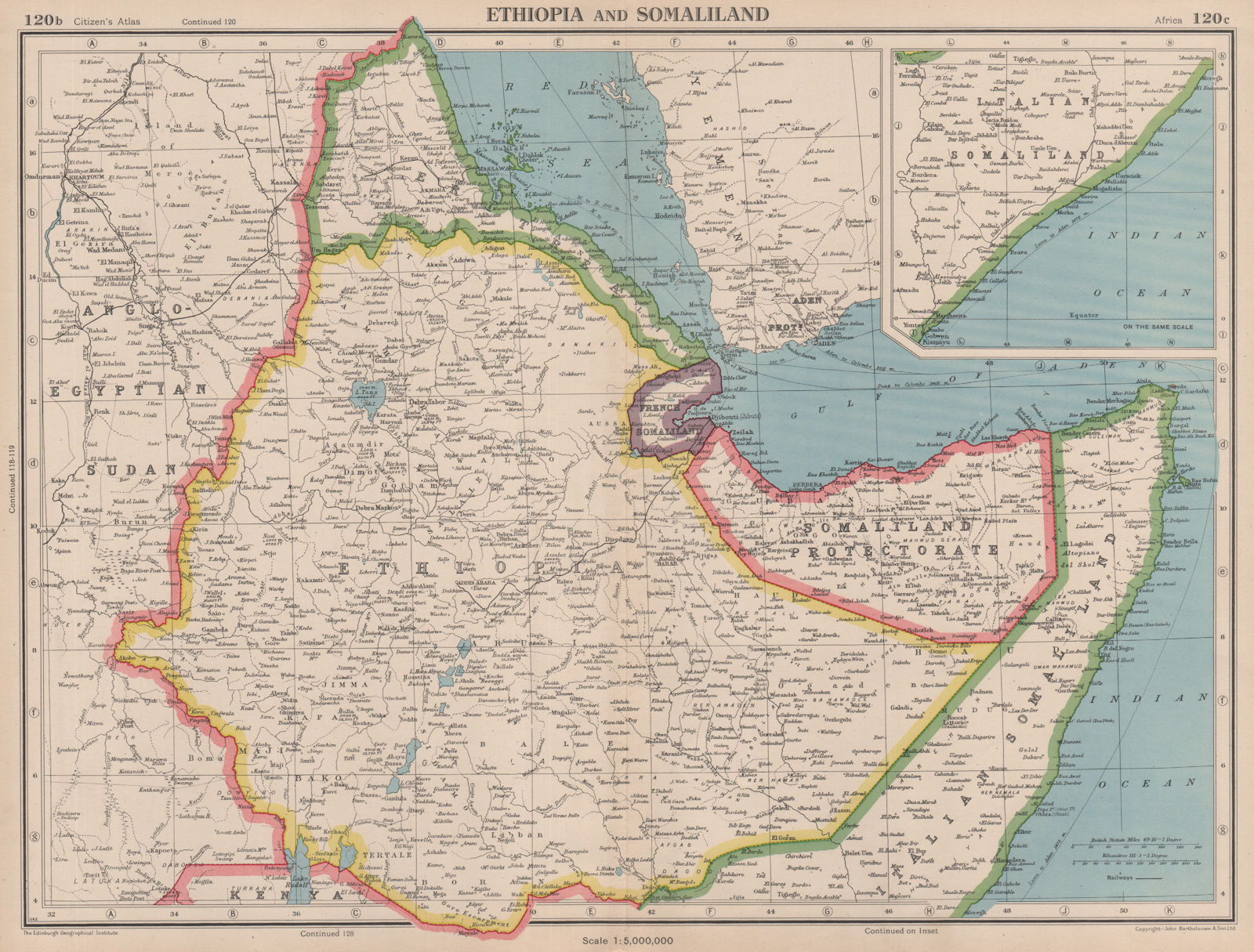
Somaliland protectorate 1920-1960
26th June - 1st July 1960 and since 1991 onwards

If South Zoomaali politicians think they can subjugate the Somaliland people
They can thinka again
I believe Somaliland can trace its history back to
Barbara State 1st century AD
Centuries later Sultanate of Showa (nicknamed "The Land of Zeila")
Walashma dynasty & Ifat Sultanate
Adal empire
Somali Eyalet State
Somali Dervish State
Somaliland protectorate 1920-1960
26th June - 1st July 1960 and since 1991 onwards
Last edited:

 Lool what a troll