Merchant of Mogadishu
From Pella to Pattala, then back to Babylon
The historical core of Central Asia was a region known as Transoxiana, a term that was coined by scholars to describe the location of this region beyond the River Oxus as one approached it from the classical world of Iran (more specifically from its northeastern province of Khorasan). The Oxus (or Oxiana) River, a Latinized form of an ancient Iranian word, was known to the Arabs as Jayhun. It is known today as the Amu Darya (the Amu River); this is based on a local variant, Amu, and the Persian word for lake or sea, darya, borrowed by Central Asian Turkic and with the connotation of river. Beginning east of the Oxus, Transoxiana extended even further eastward to meet the second—although relatively minor—lifeline of Central Asia, the Jaxartes or the Syr Darya. However, despite the connection of the Amu and Syr Darya with the term Transoxiana and the enormous significance of the two rivers in sustaining the culture of the region since ancient times, the historical center of gravity of Transoxiana lay elsewhere. This was along a third river called the Zarafshan, which originates far to the east in the Pamir Mountains, flows further to the west through the Turkestan and Zaraf-shan ranges, and then flows through the central lowlands of present-day Uzbekistan. Although it ultimately appears to head for a junction with the Amu Darya itself, instead it disappears into the sands of the Kyzyl Kum desert. Irrigation derived from the Zarafshan has supported dense agricultural and urban settlements in Transoxiana since antiquity, and existing cities like Samarqand and Bukhara (Uzbekistan) and archaeological sites such as Penjik-ent (Tajikistan) are only the best-known examples. In addition to the Zarafshan, several smaller streams such as the Kashka Darya also rise in the southern watershed of the Zarafshan range, flowing southwest and westward, somewhat parallel to the Zarafshan, toward the Bukharan oasis but again disappearing before reaching it. The Kashka Darya has, in turn, nourished historical places such as the Timurid Shahrisabz (Kesh) and Mongol Karshi (Nasaf). In cumulative effect, through the combination of pockets of great fertility (oases) created by the Oxus, the Jaxartes, the Zarafshan, and their smaller tributaries, Transoxiana was a fertile and important region—a literal gateway, bridge, and bottleneck—that led to the three fascinating worlds beyond: Greater Eurasia, China, and India.
In addition to demarcating the southern limit of Transoxiana, historically the Oxus River also represented a strong physical border separating Iran from Central Asia; this was a point of concern for all those who desired to cross to the other side, including Alexander the Great, the Sasanian monarchs, the Turks and Arabs, and even the units of the Red Army during the early nineteenth century. It is from this river that the entire surrounding tract, extending from the Amu to the Syr Darya (the Oxus to the Jaxartes), appears to have received its name. It was recorded by Darius in his inscriptions as Sugdam or Sugda, with the Avestan and Greek equivalents as Sughdha or Sogdiana. Likewise, the people who inhabited the area came to be known as the Sogdians, whereas the Zarafshan River itself came to be called the Soghd.
The Sogdians had resided in Transoxiana for several centuries before the Arab conquests. They spoke an Iranian tongue, because Sogdia, like much of Central Asia before these invasions, was an Iranianspeaking region. Although their language (called Sog-dian by some scholars) is now extinct, scholars believe that traces of the rich Sogdian culture still survive in the toponomy of the several towns in the region, whose names end in - kent, - kand, - kat, or other variants of this Iranian word, which means ‘‘town.’’ Appropriate examples are Penjikent, Uzgend, Samar-qand, Numijkat (the original name for Bukhara), Tashkent, and Yarkand. In addition, a sizable component of the population of certain pockets of Central Asia still speaks Iranian or speaks both Iranian and Turkic (although some time after the Islamic conquest a shift occurred from Sogdian to Farsi, the language of Fars, a province in southern Persia, which developed into modern Persian). That the Sogdian culture was still intact in the tenth century and to some degree assimilated into the practices and beliefs of Islam is attested to by the accounts of contemporary Muslim geographers who called the country (Sogdiana) the Bilad al-Sughd (Land of the Sogdians) and the Zarafshan river the Wadi al-Sughd (Sogd river). As mentioned earlier, the Arabs used the term Mawarannahr (‘‘that which is beyond the river [Jayhun]’’), for the region of Transoxania, also following the same psycholinguistic process. Employing the Syr Darya as a demarcation line marking the northern limit of Trans-oxania, all of the land that lay outside of this domain was the Turkestan or the Bilad al-Turk—the abode of the Turkic nomads.
If Transoxiana was the geographical and cultural core of Central Asia, then southeast of it lay the historical territory of Bactria, home to a sophisticated urban culture, including several urban foundations established by Alexander the Great. Of these, most prominent was the capital of ancient Bactria (the Balkh of early Islamic centuries), which flourished as an important urban center until its destruction by the Mongols in 1221, briefly recovering only to yield primacy to the funerary sanctuary of Mazar-i Sharif. Today Bactria corresponds to northern Afghanistan, southern Tajikistan, and southeastern Uzbekistan and Turkmenistan.
Northwest of Transoxiana and bordering the Aral Sea lay Khwarazm, comprising the lowermost course of the Amu Darya and its sprawling delta estuary fringing the southern shore of the Aral Sea. Khwar-azm had since ancient times been home to a flourishing agricultural and urban civilization, typically Iranian in style and character. Medieval Khwarazm functioned as an important commercial link between Eurasia, the Middle East, and Russia, controlling the most important trade routes between the three worlds and stimulated by the Islamization of Central Asia and the rise of Urgench as the chief city in the region from the tenth century onward.
Two other regions, Ferghana and Khorasan, which also surrounded Transoxiana, should be mentioned here. The Ferghana Valley, located east of the expanded region of Transoxiana, has been a land of an ancient agricultural civilization, colonized early by Sogdian merchants. Today most of Ferghana lies within the easternmost province of the republic of Uzbekistan, except for fringes shared by neighboring Kyrgystan and Tajikistan. To the south of Transoxi-ana lies the province of Khorasan. In pre-Islamic and early Islamic times, it comprised a large area, including central Turkmenistan and northwestern Afghanistan and the cities of Nisa, Merv, Nishapur, and Herat. By the Middle Ages, several of these cities lay on the Silk Road’s trunk routes linking Sinkiang through Samarqand as well as routes going to Bactria, India, Khwarazm, and Russia. Khorasan was the focus of the Arab invasions before Transoxiana, and, in several ways, it set the stage for sociocultural developments elsewhere.


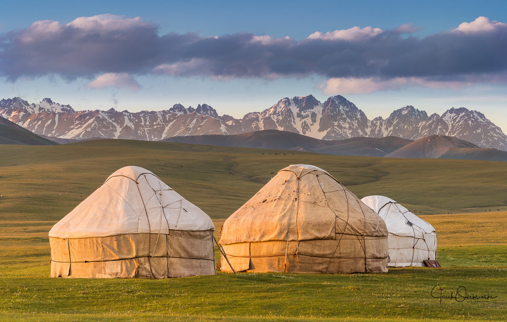

I have to visit this place.


In addition to demarcating the southern limit of Transoxiana, historically the Oxus River also represented a strong physical border separating Iran from Central Asia; this was a point of concern for all those who desired to cross to the other side, including Alexander the Great, the Sasanian monarchs, the Turks and Arabs, and even the units of the Red Army during the early nineteenth century. It is from this river that the entire surrounding tract, extending from the Amu to the Syr Darya (the Oxus to the Jaxartes), appears to have received its name. It was recorded by Darius in his inscriptions as Sugdam or Sugda, with the Avestan and Greek equivalents as Sughdha or Sogdiana. Likewise, the people who inhabited the area came to be known as the Sogdians, whereas the Zarafshan River itself came to be called the Soghd.
The Sogdians had resided in Transoxiana for several centuries before the Arab conquests. They spoke an Iranian tongue, because Sogdia, like much of Central Asia before these invasions, was an Iranianspeaking region. Although their language (called Sog-dian by some scholars) is now extinct, scholars believe that traces of the rich Sogdian culture still survive in the toponomy of the several towns in the region, whose names end in - kent, - kand, - kat, or other variants of this Iranian word, which means ‘‘town.’’ Appropriate examples are Penjikent, Uzgend, Samar-qand, Numijkat (the original name for Bukhara), Tashkent, and Yarkand. In addition, a sizable component of the population of certain pockets of Central Asia still speaks Iranian or speaks both Iranian and Turkic (although some time after the Islamic conquest a shift occurred from Sogdian to Farsi, the language of Fars, a province in southern Persia, which developed into modern Persian). That the Sogdian culture was still intact in the tenth century and to some degree assimilated into the practices and beliefs of Islam is attested to by the accounts of contemporary Muslim geographers who called the country (Sogdiana) the Bilad al-Sughd (Land of the Sogdians) and the Zarafshan river the Wadi al-Sughd (Sogd river). As mentioned earlier, the Arabs used the term Mawarannahr (‘‘that which is beyond the river [Jayhun]’’), for the region of Transoxania, also following the same psycholinguistic process. Employing the Syr Darya as a demarcation line marking the northern limit of Trans-oxania, all of the land that lay outside of this domain was the Turkestan or the Bilad al-Turk—the abode of the Turkic nomads.
If Transoxiana was the geographical and cultural core of Central Asia, then southeast of it lay the historical territory of Bactria, home to a sophisticated urban culture, including several urban foundations established by Alexander the Great. Of these, most prominent was the capital of ancient Bactria (the Balkh of early Islamic centuries), which flourished as an important urban center until its destruction by the Mongols in 1221, briefly recovering only to yield primacy to the funerary sanctuary of Mazar-i Sharif. Today Bactria corresponds to northern Afghanistan, southern Tajikistan, and southeastern Uzbekistan and Turkmenistan.
Northwest of Transoxiana and bordering the Aral Sea lay Khwarazm, comprising the lowermost course of the Amu Darya and its sprawling delta estuary fringing the southern shore of the Aral Sea. Khwar-azm had since ancient times been home to a flourishing agricultural and urban civilization, typically Iranian in style and character. Medieval Khwarazm functioned as an important commercial link between Eurasia, the Middle East, and Russia, controlling the most important trade routes between the three worlds and stimulated by the Islamization of Central Asia and the rise of Urgench as the chief city in the region from the tenth century onward.
Two other regions, Ferghana and Khorasan, which also surrounded Transoxiana, should be mentioned here. The Ferghana Valley, located east of the expanded region of Transoxiana, has been a land of an ancient agricultural civilization, colonized early by Sogdian merchants. Today most of Ferghana lies within the easternmost province of the republic of Uzbekistan, except for fringes shared by neighboring Kyrgystan and Tajikistan. To the south of Transoxi-ana lies the province of Khorasan. In pre-Islamic and early Islamic times, it comprised a large area, including central Turkmenistan and northwestern Afghanistan and the cities of Nisa, Merv, Nishapur, and Herat. By the Middle Ages, several of these cities lay on the Silk Road’s trunk routes linking Sinkiang through Samarqand as well as routes going to Bactria, India, Khwarazm, and Russia. Khorasan was the focus of the Arab invasions before Transoxiana, and, in several ways, it set the stage for sociocultural developments elsewhere.
I have to visit this place.

