Not accurate at all. At least consult direct primary sources on that period if you are going to make maps out of it.
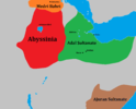
Awdal was not in Southern Somalia (No idea where OP got that from) and was not confined to that location shown in that map he posted.
It extended from the Djibouti-Zeila corridor to and over Cape Guardafui (Bari-Nugaal) Vassal and in the interior past Harar until it reached the Hawash/Showa river/plateu.
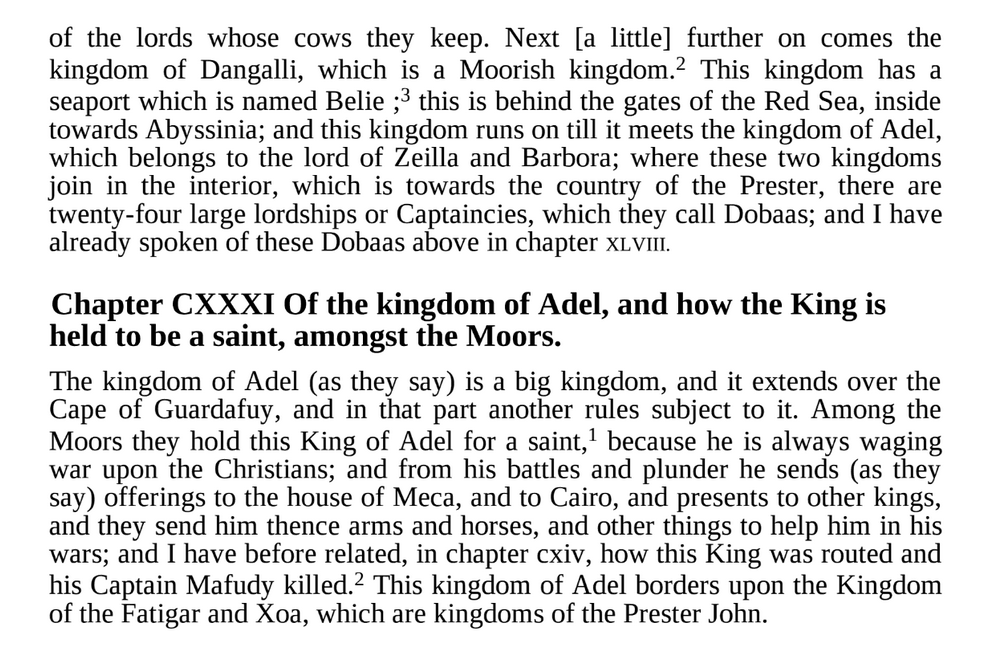
Portuguese description on Awdal's territory in year 1520:
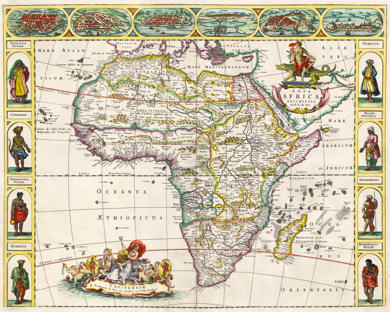
Same is shown in internal/external Arabic sources, in fact the Arabic sources even taking a further and describing interior towns connecting it to the wider polity.
Heck even maps like these made a century after is more accurate:

 Check out these hilarious reactions to Somali vs Habesha food